
In Summer 2017, Canisius faculty and staff attended our free Digital Humanities Workshop Series introducing digital mapping tools for research and teaching. Digital mapping and Geographic Information Systems are powerful resources that scholars, students, and professionals use in a wide variety of fields.
In these workshops attendees learned:
- how to build course content, assessments, and student projects using StoryMaps, a web application that closely integrates geography with other forms of content (text, images, and video). See examples here.
- the fundamentals of Geographic Information Systems (GIS) and digital mapping, useful across a wide variety of applications, from the simple (class assignments) to the very complex (scholarly research).
- the basics of ARCGIS, a powerful, industry-standard Geographic Information System.
Attendees agree that GIS could be a powerful toolset for new kinds of research in the humanities, liberal arts, and social sciences.
Workshops in the Series:
May 23rd, 2017: Using StoryMaps to create course content and assessments.
June 22nd, 2017: Introduction to Geographic Information Systems using ARCGIS.
July 19th, 2017: Doing More in ARCGIS.*
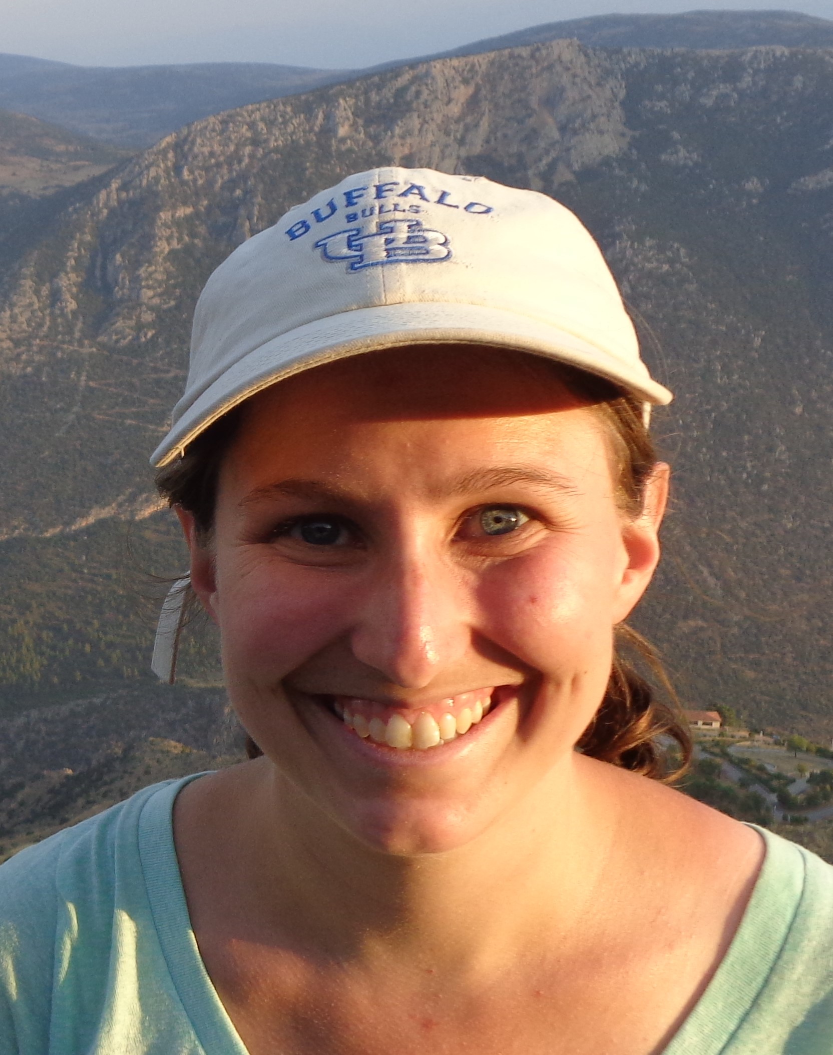
Dr. Erin Warford
Adjunct Professor of Classics
Adjunct Professor at Canisius College and Hilbert College
Dr. Warford has nine years of experience with Geographic Information Systems in both academia and industry. She has a Ph.D. in Classics (focused on Mediterranean Archaeology) from the University at Buffalo.
Build Temples Not Walls: Mapping Border Sanctuaries and Pilgrimage Routes in Classical Athens
See Dr. Warford’s March 23rd, 2017 presentation, part of Canisius College’s Digital Humanities Speaker Series.